VANCOUVER — A 96-square kilometre wildfire in the Prince George fire centre has prompted an evacuation order by Peace River Regional District.
Officials say the West Kiskatinaw River wildfire is burning out of control and poses immediate danger to life safety. Residents have been instructed to gather family members and pets and travel by the safest route to Dawson Creek.
The order covers properties following the Kiskatinaw River west to south of Bearhole Lake and including Bearhole Lake road to the district of Tumbler Ridge boundary.
Meanwhile, a small but aggressive wildfire on Vancouver Island continues to burn beside the only major highway linking Port Alberni, Tofino and Ucluelet to the rest of British Columbia.
The route is closed until further notice as the nearly one-square-kilometre blaze spreads in steep terrain south of Cameron Lake, not far from Cathedral Grove, home to some of Canada's oldest and tallest trees.
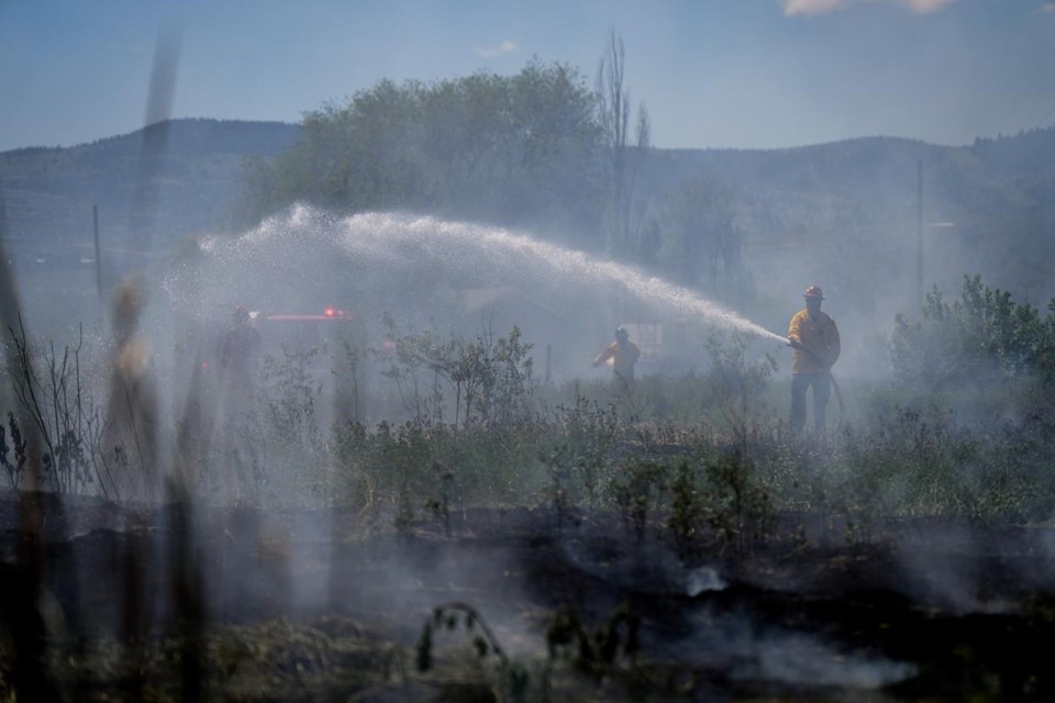
The B.C. Wildfire Service says heavy equipment, helicopters and crews are attacking what is believed to be a human-caused fire.
A statement from the Transport Ministry says a detour will route traffic to Lake Cowichan through Bamfield using gravel forest-service and industrial roads, which have no cell service, gas stations or washroom facilities.
The statement says "drivers are strongly encouraged to avoid travel in the area unless essential."
"The detour route extends travel by four hours and includes difficult driving conditions," the statement says. "For drivers who must travel for essential purposes, the province urges preparation and patience."
It says vehicles weighing less that 14,500 kilograms will be permitted on the detour corridor.
Crews have also jumped on two new fires south of Dawson Creek in northeastern B.C. that were spotted Tuesday following a lightning storm, including one that has already charred nearly 38 square kilometres, prompting an evacuation order and alert for an area that encompasses the community of One Island Lake.
The other new fire, closer to the Alberta boundary, covers about two square kilometres and is also considered highly visible or a potential threat to public safety because it's not far from Highway 52.
Starting Thursday, campfires will be banned across B.C. except on Haida Gwaii and in the southeast and northwest corners of the province as high temperatures and drought push the wildfire danger to high or extreme across Vancouver Island, the central Interior and the northeast.
B.C.'s latest fires are in addition to the 3,100-square-kilometre Donnie Creek blaze that continues to burn out of control, primarily affecting work camps and industry between Fort St. John and Fort Nelson.
The wildfire service is reporting more than 80 active fires with most burning in the Prince George fire centre, covering north-central and northeastern B.C.
This report by The Canadian Press was first published June 7, 2023.
The Canadian Press


